


About the Artist
Blue McRight is an accomplished local artist whose practice includes public art, sculpture, and installation. Among her many commissioned public artworks are Luminaries at the California Dept. of Health Services in Sacramento; Home Office, a site-responsive artwork for the State of Washington, and Garland, a sculptural light installation at the entrance to Crypto.com Arena in Los Angeles.
Blue attended Rhode Island School of Design and the Evergreen State College. She is the recipient of numerous awards and grants, including the City of Los Angeles Visual Arts Fellowship, a Downtown Cultural Trust Fund Grant through the L.A. County Redevelopment Agency, a Cultural Grant from the City of Los Angeles, and two Artist Grants from the Santa Fe, New Mexico Arts Council.
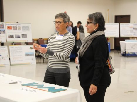
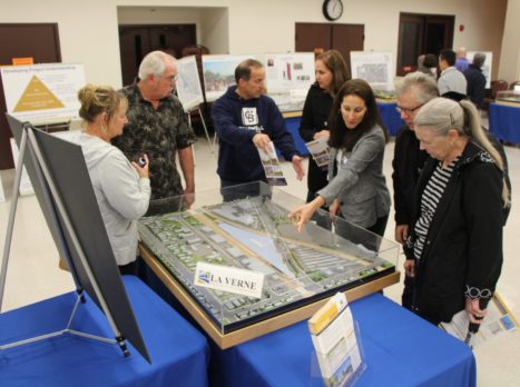
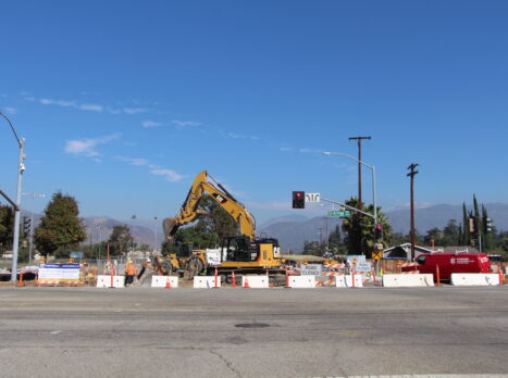
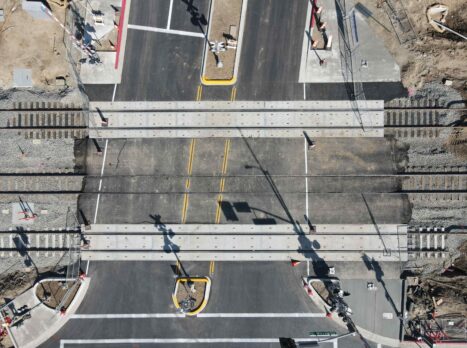
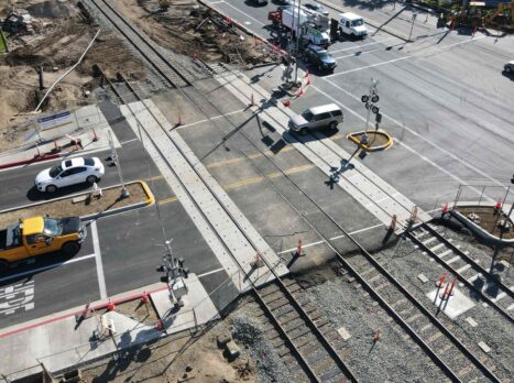
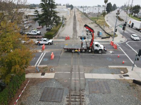
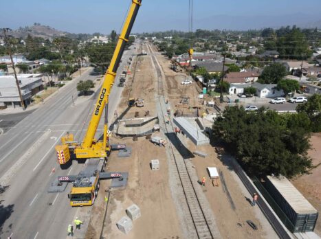
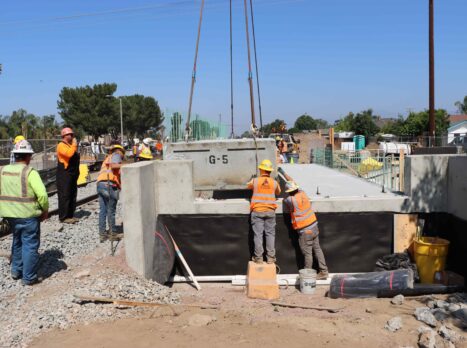
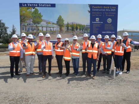
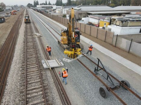
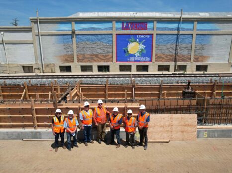
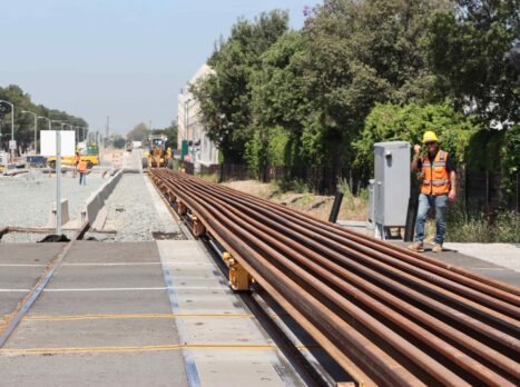
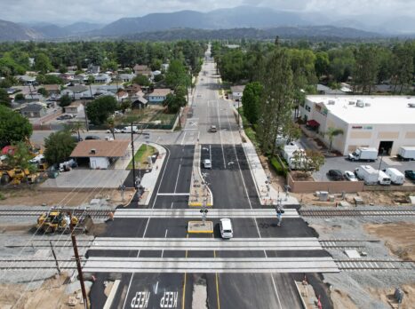
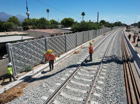
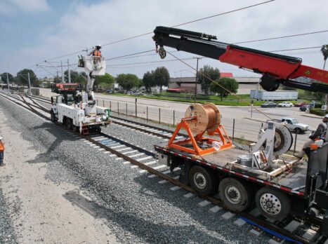
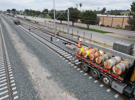
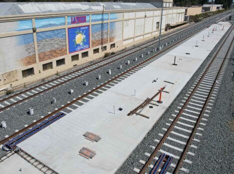
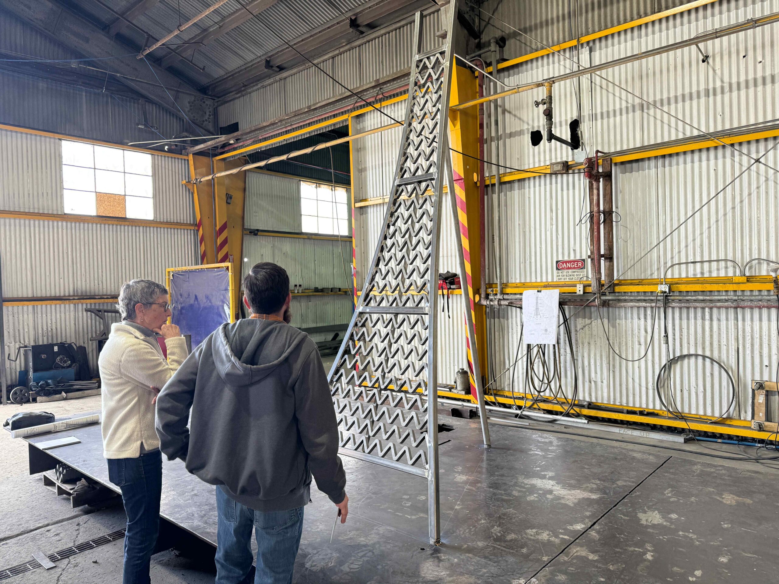
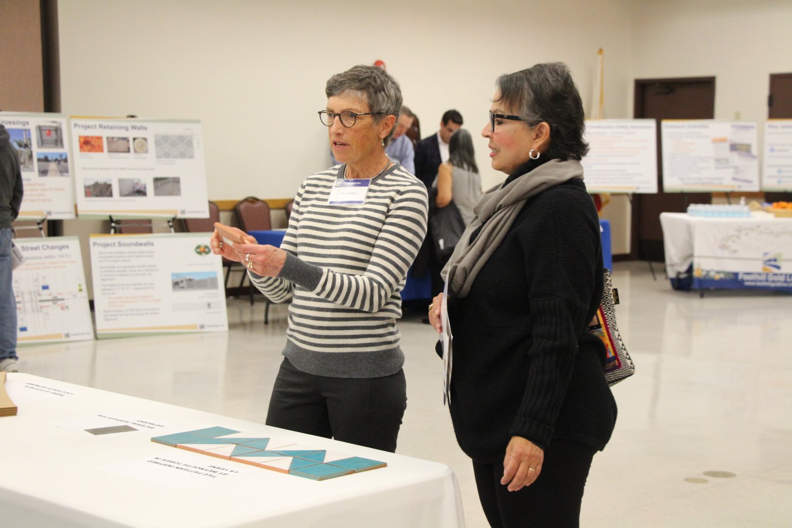
Based on her design concept, Blue was selected by the city La Verne’s Station Design and Art Review (SDAR) Committee, later ratified by the city council, in 2005. As the Foothill Gold Line from Glendora to Montclair continues to move from planning to reality, Blue has taken her preliminary design concept and work with the SDAR Committee and La Verne community, and advanced the design to be incorporated into the project’s construction.
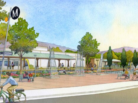
Station Art Plan
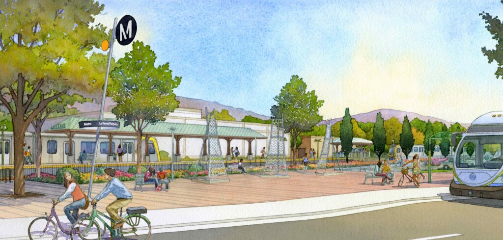
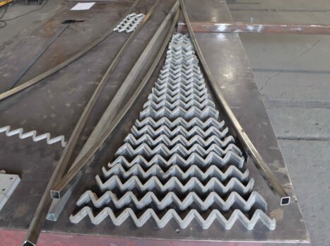
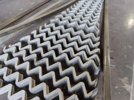
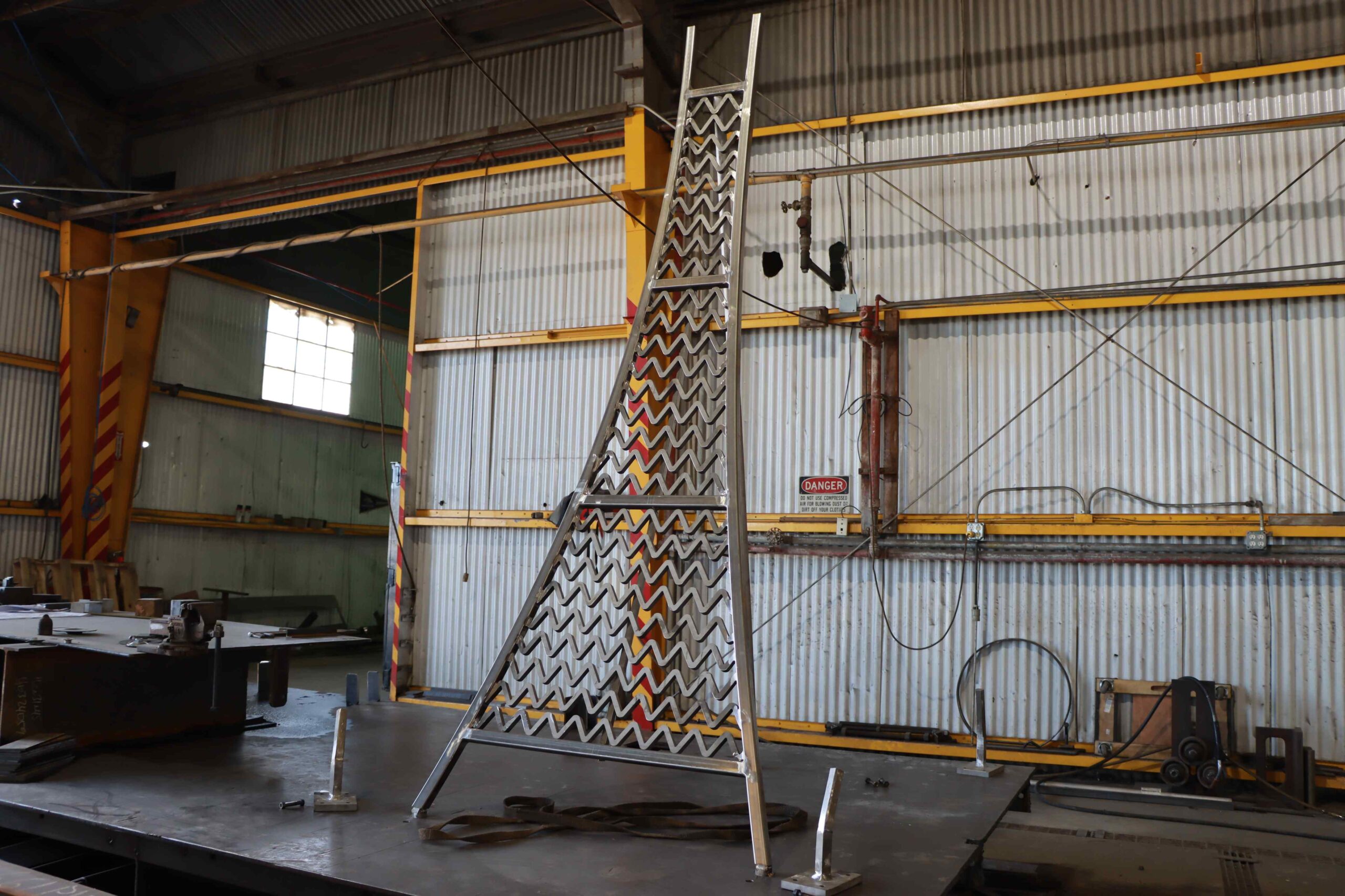
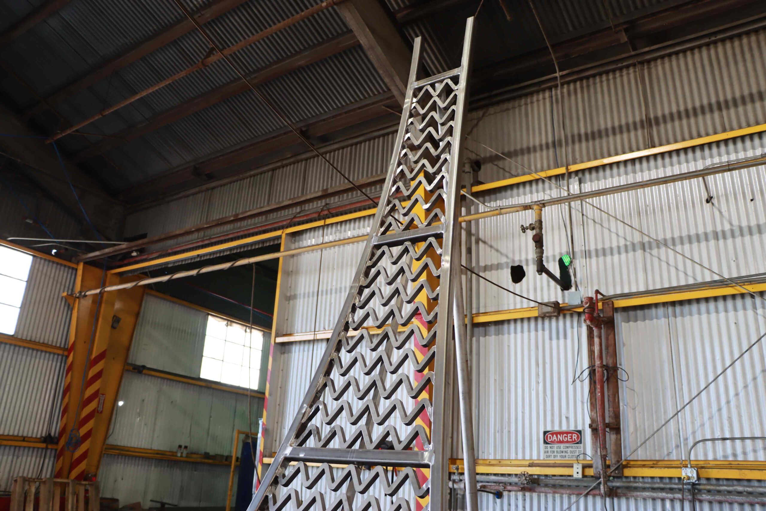
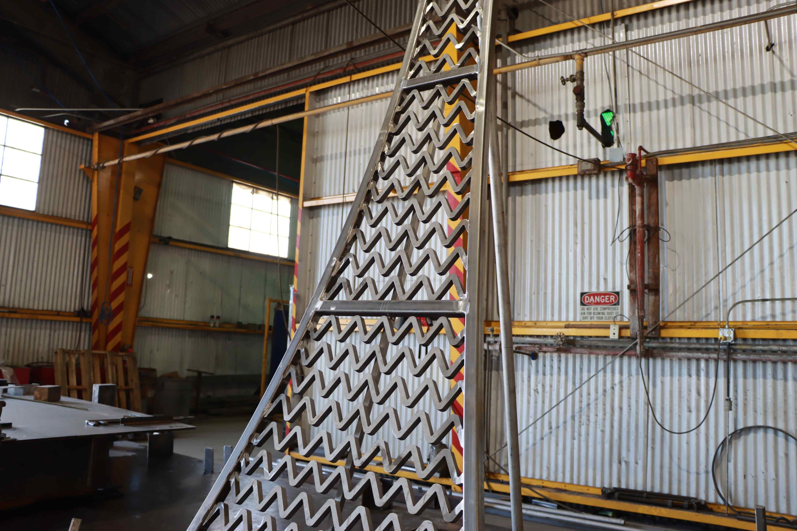
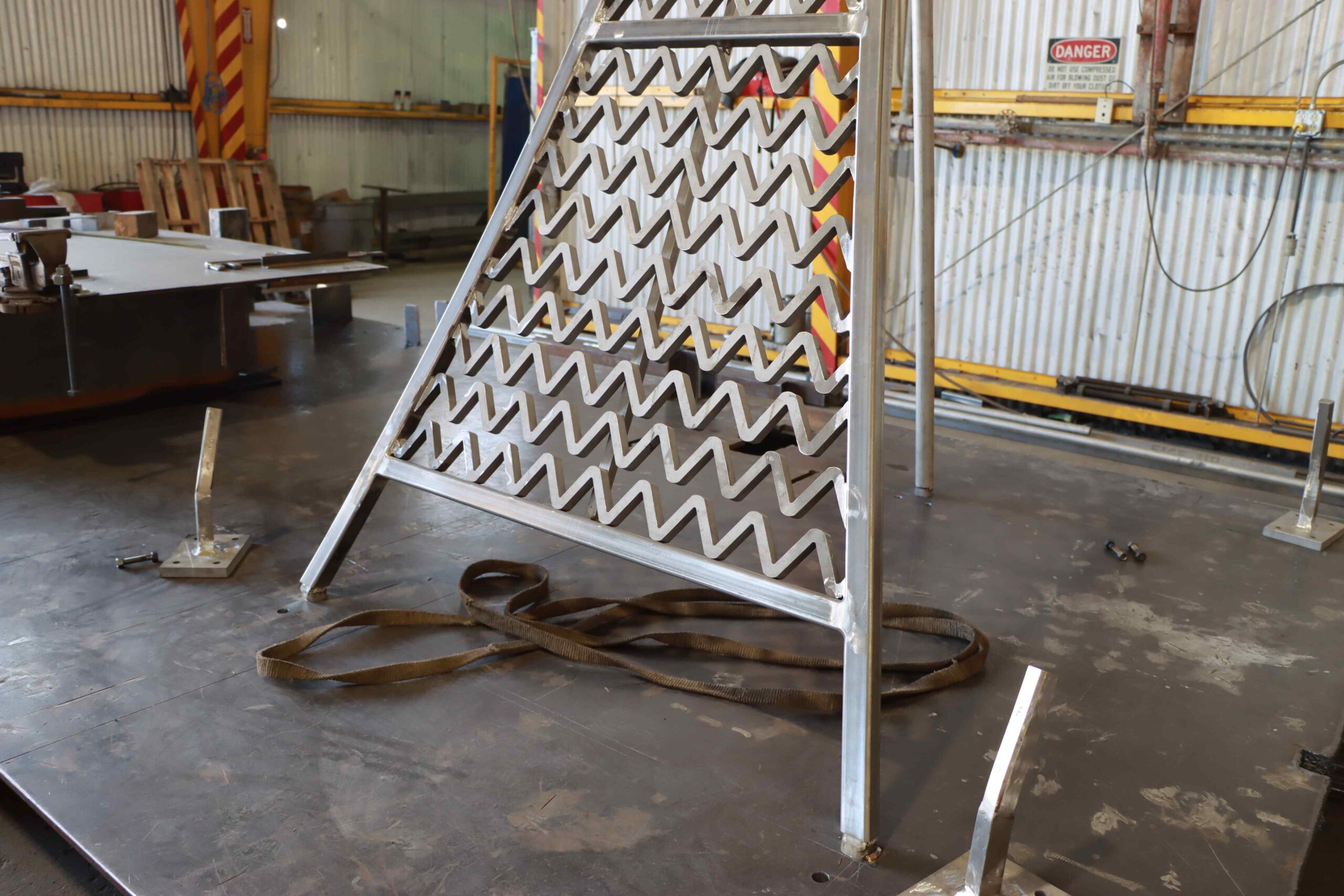
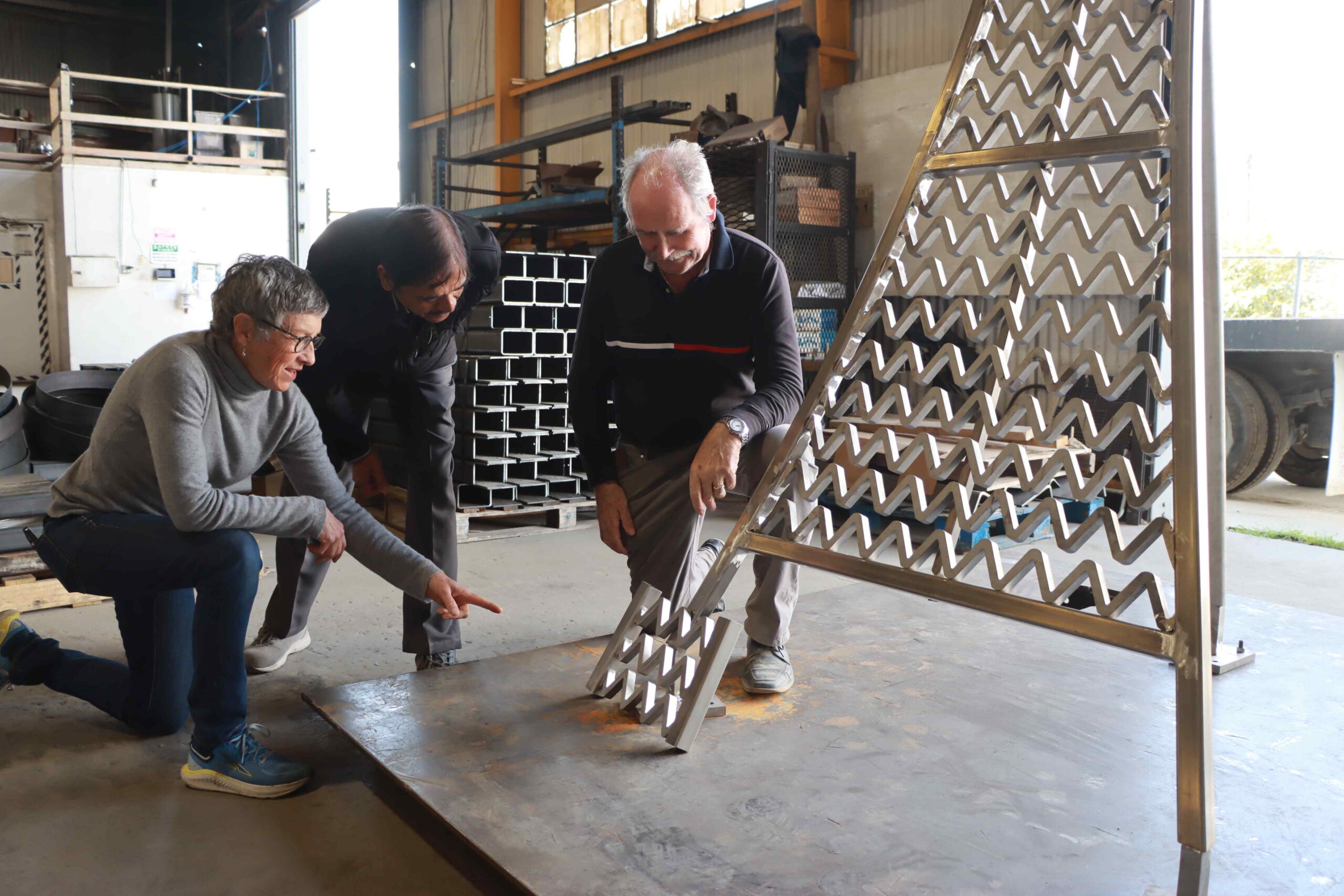
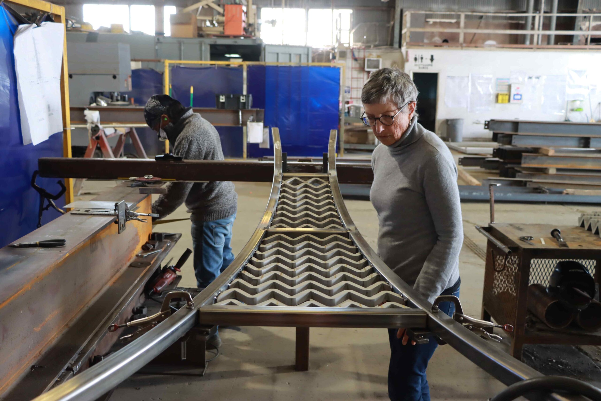
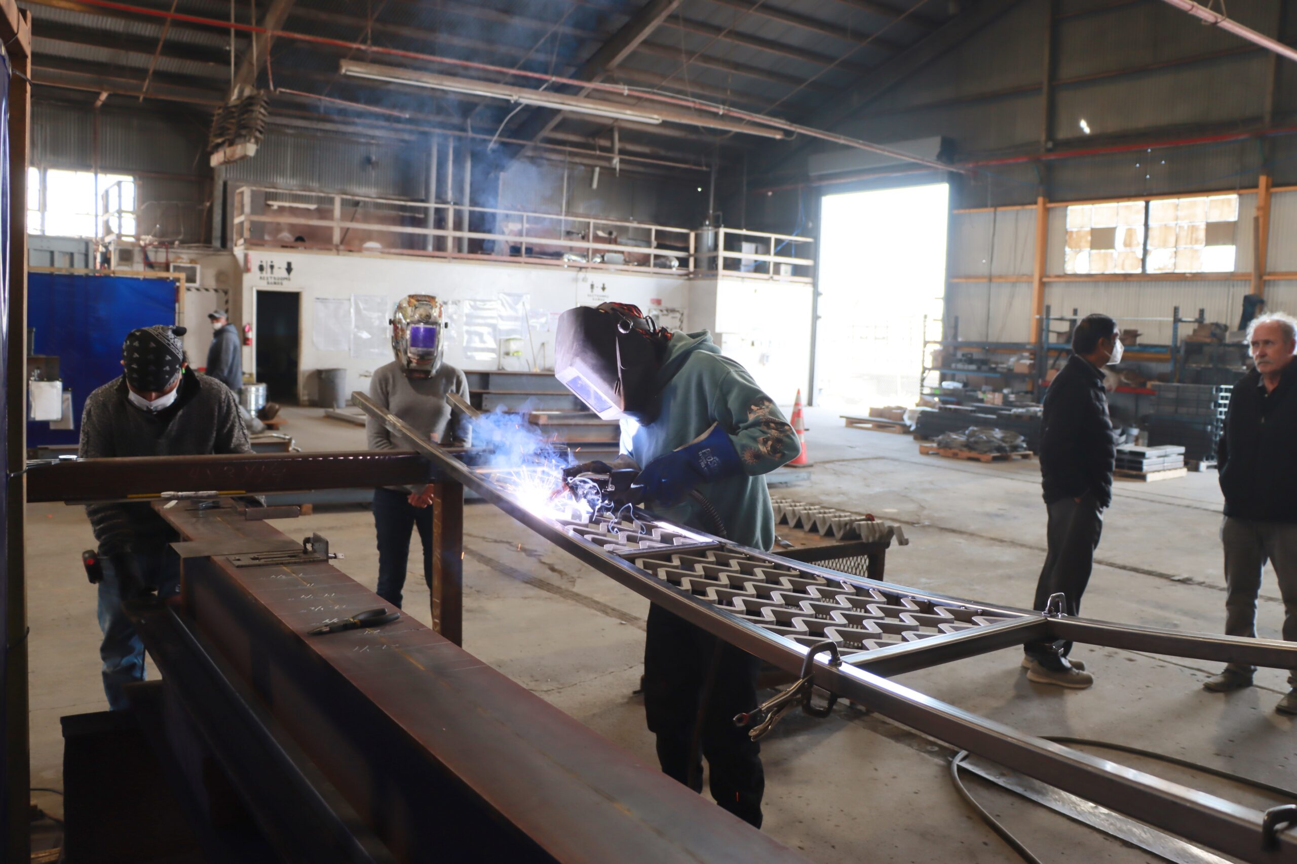
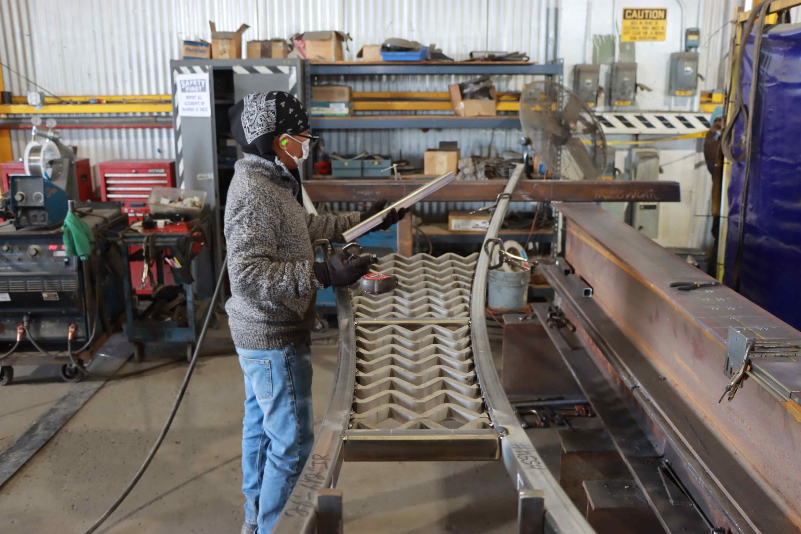
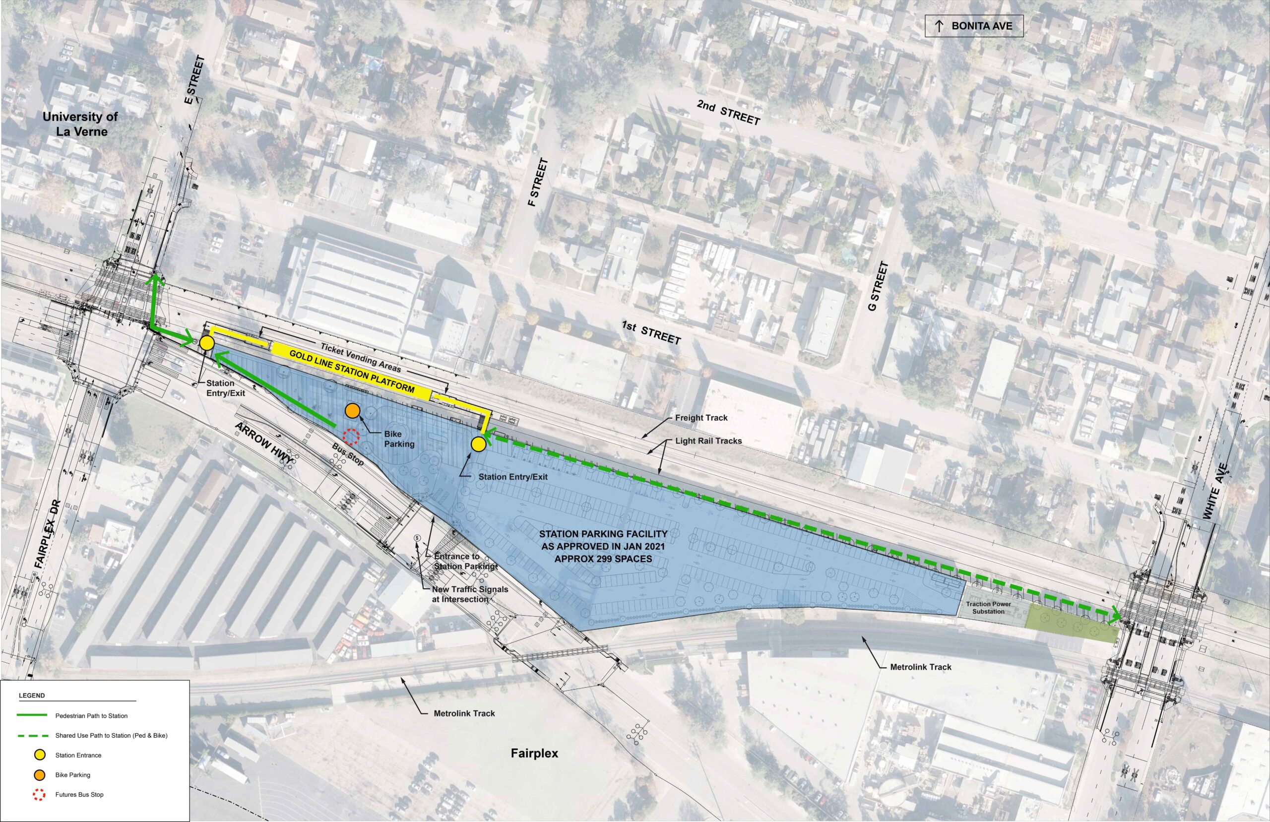
Blue plans to create three station landmarks, symbolizing the history and architecture of La Verne and the community’s connection to water. The artworks will become engaging landmarks visible from the train station and surrounding streets. A central theme in her art plan is the shared history of citrus and water. The steps of an old orchard ladder, both literally and metaphorically, will create a repeating zig-zag pattern – an ancient symbol of water. This pattern appears in the ceramic tile ornamentation of the Metropolitan Water District’s Weymouth Tower, a landmark in the City of La Verne. The zig-zag shape was also prominently featured as the roofline of the now-demolished La Verne Orange and Lemon Grower’s Association building. A prominent example of shared infrastructure in the La Verne area is Arrow Highway. This important connector will be symbolized in the artwork by arrow-shaped, colored concrete bases for each sculpture. Each ‘arrow’ will point to one of three vital community partners (Downtown La Verne – symbolizing the city; the University of La Verne; and the Pomona Fairplex); thus each sculpture will be oriented in a different direction.
For more information on the artist and artwork, click here for the latest station fact sheet.
About La Verne
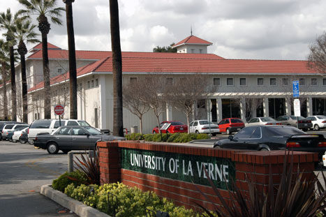
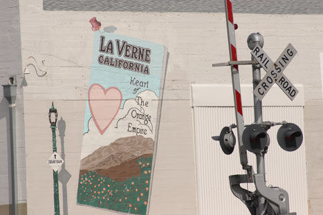
Founded in 1887, La Verne is a city of more than 30,000 residents and boasts a well balanced community with a good mix of residential, commercial and industrial features. The area was for centuries home to a number of Native American tribes whose artifacts have amazed archeologists. Today La Verne is a “close knit” community that is home to many fine institutions and facilities among which include the University of La Verne (founded in 1891), Brackett Airport and an array of highly rated public and private schools. As one of the most desirable communities in metropolitan Southern California, La Verne is a progressive city that has retained much of its small town charm. Long-range planning buttressed by a strategic vision provides La Verne with outstanding services at the lowest cost. With a tradition of planning that can be traced to the 1920s, La Verne today is a leader in municipal strategic planning.
Learn more:
Auto Club Raceway – https://www.nhra.com/nhra
Brackett Field Airport – www.airnav.com/airport/KPOC
City of La Verne – www.ci.la-verne.ca.us/
La Casa de Carrion Historical Home – https://www.californiahistoricallandmarks.com/landmarks/chl-386
La Verne Chamber of Commerce – www.lavernechamber.org
Los Angeles County Fairplex – http://fairplex.com/
Marshall Canyon Regional Park – http://parks.lacounty.gov/wps/portal/dpr/Parks/Marshall_Canyon_Park_And_Nursery
NHRA Motorsports Museum – http://www.nhramuseum.org/
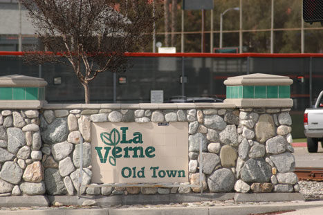
Old Town La Verne – https://www.theroute-66.com/la-verne.html
Rail Giants Train Museum – http://www.railgiants.org/
University of La Verne – www.ulv.edu